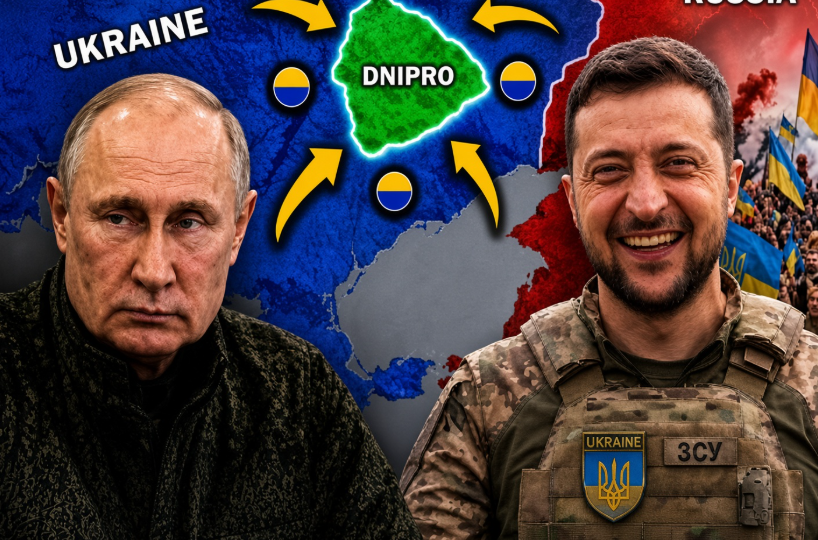
Ukraine has revealed details of what it describes as the Olexandrika offensive, an eight-month operation conducted with limited public disclosure. Ukrainian officials reportedly claim that the campaign resulted in the liberation of approximately 745 square kilometers, but independent open-source mapping projects, including DeepState, provide a substantially different assessment of the territory under Ukrainian control.
The discrepancy highlights a recurring challenge in tracking the Russia-Ukraine war: battlefield maps depend heavily on the standards used to confirm territorial control. Government announcements may include areas where Russian forces have withdrawn or where Ukrainian troops have established operational influence, while OSINT mapping projects generally require visual evidence or other independently verifiable indicators before changing the front line.
The operation reportedly unfolded in two phases and was connected to Ukraine’s effort to protect the administrative boundary of Dnipropetrovsk Oblast from further Russian advances. Maintaining control of this area could help protect nearby communities, transportation routes, and defensive positions.
The decision to keep the operation largely undisclosed for months may also have reflected operational-security concerns, preventing Russia from obtaining detailed information about Ukrainian movements and objectives. However, the exact reasons for the delayed disclosure remain difficult to independently verify.
Ultimately, the difference between the official 745-square-kilometer figure and OSINT assessments demonstrates how battlefield reporting can vary depending on methodology, available evidence, and timing. The gap itself illustrates the uncertainty surrounding rapidly changing front lines.